
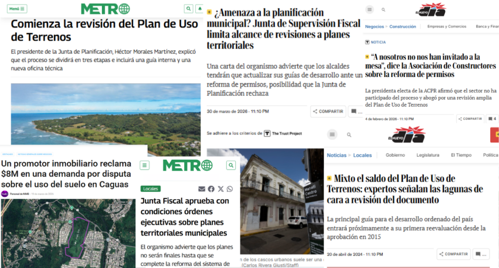
The Land Use Plan in Puerto Rico it is not the problem … the problem is the model that we have never reconciled
Puerto Rico is in the midst of a discussion that, on the surface, appears technical, but at its core is deeply historical. The Land Use Plan is being reviewed, classifications are being adjusted, there is discussion about urban, developable, and rural land, conservation and development areas are being defined, and all of this, in theory, should help us better organize the country. However, when the conversation is analyzed more deeply, it becomes evident that we are addressing territorial planning without fully incorporating the historical processes that shaped it.
And that is where the real problem begins.
Today, Puerto Rico attempts to organize its territory based on three layers that were not born together, that respond to different historical moments, and that have never been reconciled with one another:
- Identity model — Laws of the Indies: the territory conceived as a community system, integrating urban and rural life
- Economic model — United States (post-1898): industrial, suburban logic oriented toward land as an asset
- Technical model — 1942, Puerto Rico Planning Board: institutional planning based on regulations, classifications, and formal instruments
From that point on, the discussion ceases to be merely technical and takes on a structural nature that, although not always explicitly recognized, conditions the effectiveness of any planning instrument.
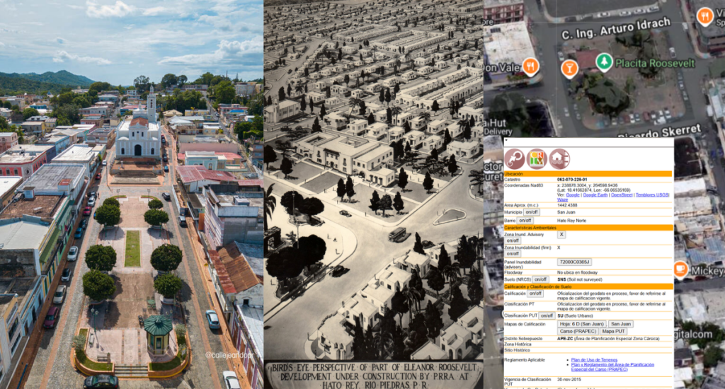
If we examine the first layer, the identity layer, we observe that the Spanish model did not begin by classifying land, but by organizing life. In urban centers, this was manifested through the plaza as a meeting nucleus, the church as a cultural reference, and the integration of commerce and housing. However, this logic was not limited to the urban core. Rural territory was also an essential part of the system, where agriculture, roads, and the relationship between countryside and town responded to an integrated structure in which both spaces complemented each other. In that context, the value of a place did not reside in the parcel as an isolated unit, but in the function that space played within a broader social system.
With the arrival of the United States after 1898, a second layer is introduced that transforms the way territory is understood. Land begins to be interpreted as an economic asset subject to measurement, subdivision, and development. But beyond that conceptual shift, what truly changes is how space is experienced. Proximity ceases to be the organizing principle and is replaced by distance; walkability loses centrality to the automobile; and the immediate relationship between housing, commerce, and work dissolves into a more dispersed structure, where each function is separated and connected through road infrastructure.
This shift is not simply physical, it is cultural. Where territory once facilitated encounter, it now facilitates movement. Where space was once designed for coexistence, it begins to be designed for circulation, connection, and expansion. The thinking articulated in the Land Ordinance of 1785 translates into a logic where functional efficiency and economic growth progressively replace social interaction as the axis of territorial development.
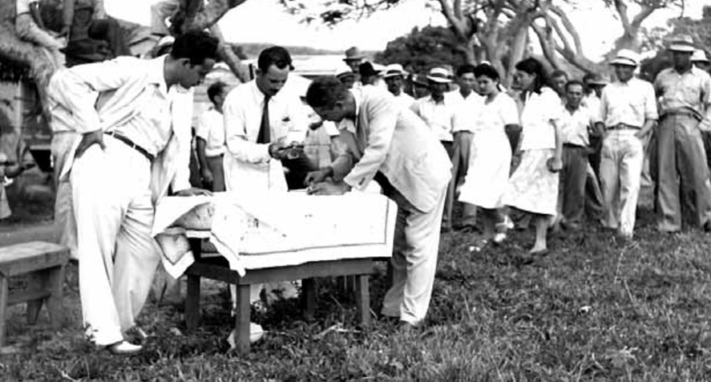
drawing of lots—Luquillo (June 1946). Photographer Charles Rotkin. – Centro de Estudios
Puertorriqueños, Hunter College, CUNY.
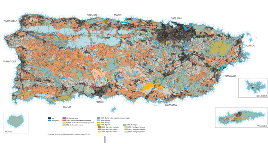
Later, in 1942, the third layer takes shape with the creation of the Planning Board, marking the beginning of modern institutional planning in Puerto Rico. From that moment on, territorial management is formalized through regulations, classifications, maps, and technical instruments that seek to organize development in a structured manner. This model is what is reflected today in the Land Use Plan and in municipal territorial plans. However, this technical layer does not replace the previous ones; rather, it is superimposed on them, operating over a foundation already composed of distinct logics.
Consequently, the 2015 Land Use Plan is not merely a technical classification instrument, but the contemporary manifestation of this third layer operating over a base where the other two remain present. Added to this is the fact that its implementation is articulated through municipal plans, where each jurisdiction interprets and applies the general framework according to its own realities, introducing an additional dynamic that may lead to fragmentation if there is no integrated reading of the territory.
In this context, the system demonstrates a high capacity to classify, but not necessarily to interpret. Within the same land category, spaces with profoundly different values can coexist, and it is precisely in that difference where the current model begins to show its limits. There are areas whose historical, cultural, or ecological weight makes them unique assets, regardless of their formal classification. When those attributes are not recognized, the system tends to treat them as if they were equivalent to other spaces that do not share those same characteristics.
It is precisely at this point where the discussion needs to expand. This is not about unnecessarily complicating the model, but about recognizing that the territory contains dimensions that are not being fully captured by current instruments. The psychosocial valuation of real estate enters this discussion as an analytical framework that allows the identification of spaces whose value transcends classification, whether due to their history, cultural meaning, ecological relevance, or impact on collective perception.
Incorporating this perspective does not imply replacing the existing system, but enriching it. It requires studying the territory in a more comprehensive way before intervening in it, understanding its context, its evolution, and its function within the system to which it belongs, so that decisions are not based solely on technical logic, but on a more complete reading of reality.
If this gap is not addressed, the repetition of already known patterns is foreseeable, such as the loss of relevance of urban centers, the concentration of investment in areas of greater operational ease, fragmentation in decision-making at the municipal level, and territorial expansion without a proportional strengthening of the social and economic fabric.
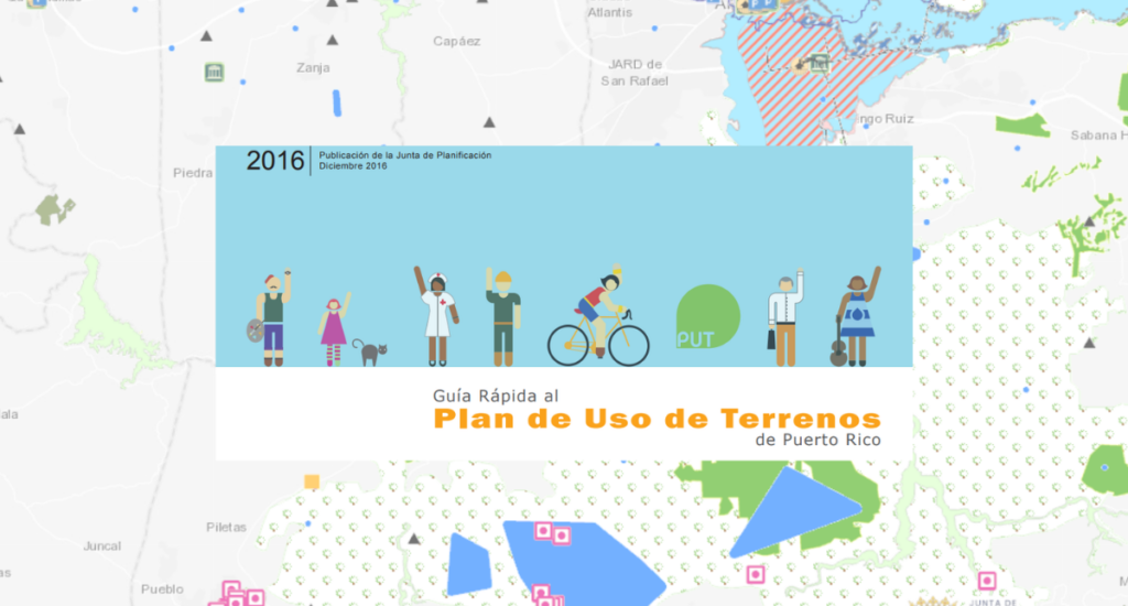
The Land Use Plan and municipal plans remain necessary tools within the current institutional framework, but their effectiveness is conditioned by the understanding of the foundation upon which they operate. Puerto Rico does not face a problem of lack of instruments, but of conceptual integration.
Puerto Rico’s territory is the result of a historical evolution that combines an identity foundation, an economic logic, and a technical structure, and the current challenge is not to replace one with another, but to recognize them, understand them, and articulate them coherently.

Towards the next step
If Puerto Rico wants the Land Use Plan to have real impact, it is necessary to explicitly incorporate a historical-territorial analysis into the planning process, align municipal plans under an integrated reading of the country, and develop mechanisms to identify those assets whose value transcends their classification, integrating historical, cultural, and ecological criteria into decision-making.


Respuestas